Pix4D is a professional photogrammetry suite that transforms drone, handheld, or aerial images into accurate 3D models, orthomosaics, point clouds, and digital terrain models with survey-grade precision (1-2cm accuracy using GCPs and RTK). It supports multi-spectral and thermal imagery processing, LiDAR integration, volume calculations, vegetation indices like NDVI, and seamless exports to CAD/GIS tools like AutoCAD and ArcGIS. Available as desktop (PIX4Dmapper, PIX4Dmatic), cloud, and mobile solutions for industries including surveying, agriculture, construction, mining, and infrastructure.
Related articles to Pix4D

Pix4D | Drone Nerds Enterprise
Drone Nerds

PIX4Dfields 2.2: the Magic tool - spot spraying made easy | Pix4D
Pix4D
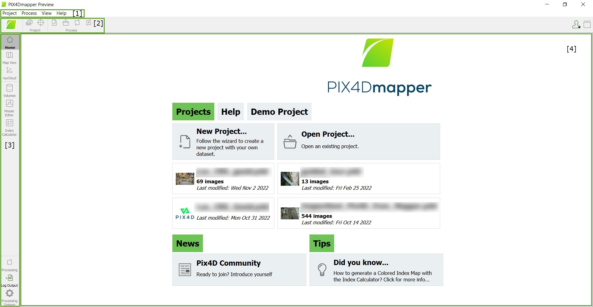
Interface - PIX4Dmapper
Pix4D Documentation

PIX4Dmapper: Reliable photogrammetry software for classic drone mapping | Pix4D
Pix4D
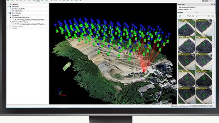
Pix4D Adds Editing Tool and Subscription Model | GIM International
GIM International
Pix4D
Drone photogrammetry software

Pix4D
Drone photogrammetry software
Quick Reply